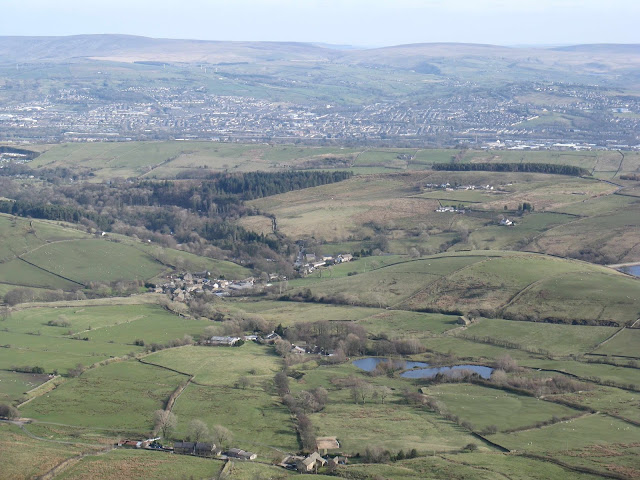
We planned a new and slightly longer circular route from Barley. This time we headed first towards the Ogden reservoir and the lovely valley that it sits in.
The water flows down and is controlled by this system.
We then turned south, away from the main valley path, and then headed west over miles of moorland. Fortunately it wasn't too boggy. When it's nice and dry this is some of my favourite walking terrain.
We were basically making our way around the huge area that is Pendle Hill. That's Clitheroe in the distance with more fells further off.
Now we're starting to see Pendle Hill proper as we round its western side.
Lots of very cute lambs were enjoying the sunshine too.
And now a good look at what we're about to climb.
It's quite steep at times with a few false summits. The real summit is 557 meters.
The view on the way up.
And the Scouting monument near the top.
In some ways Pendle Hill is an area of two parts. For most of our walk we barely met a soul. But if you climb to the top by the route we did, then make your way north-east along the flat summit back towards Barley, you suddenly see hundreds of people milling about, having picnics, walking their dogs etc. There was actually a queue to go down on the stone step path that is part of the Pendle Way.
Not surprising really - Burnley is not that far away.
This is the view of Pendle Hill looking back from the path back into Barley. The route we did was approximately 12 miles. We took it easy and just enjoyed being out in the fresh air.
I even found time to get some crocheting done. Not a bad spot is it?


No comments:
Post a Comment